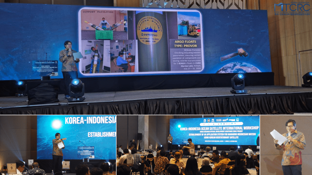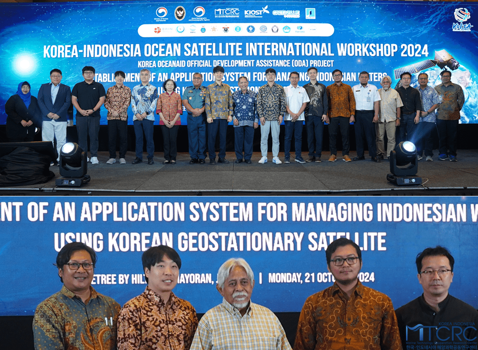
Jakarta, October 2024. To enhance human resource capacity in the field of ocean technology as part of the implementation of the Official Development Assistance project titled “Establishment of an Application System for Managing Indonesia’s Water Using Korea’s Geostationary Satellite” (ODA Ocean Satellite), the Coordinating Ministry for Maritime Affairs and Investment of the Republic of Indonesia (Kemenko Marves), the Ministry of Oceans and Fisheries of the Republic of Korea (MOF), the Korea Hydrographic and Oceanographic Agency (KHOA), together with the Korea-Indonesia Marine Technology Cooperation Research Center (MTCRC) as the coordinating body, organize a workshop titled “Korea-Indonesia Ocean Satellite International Workshop 2024.” The workshop has been held in Double-tree Hilton on October 21, 2024.

The event featured a distinguished lineup of speakers from Korea, including Dr. CHOI Jongkuk, Dr. AHN Jaehyun, and Dr. BAEK Wongyeong from Korean Institute of Ocean Science and Technology (KIOST), Mr. KIM Byounggil from Moonsoft, Dr. LEE Saro from Korea Institute of Geoscience and Mineral Resources (KIGAM), and Professor LEE Seungkuk from Pukyong National University (PKNU). Representing Indonesia were Professor Pramaditya Wicaksono from Universitas Gadjah Mada (UGM), Dr. Furqon Alfahmi from Badan Meteorologi Klimatologi dan Geofisika (BMKG); and Professor Sam Wouthuyzen, and Professor Ratih Dewantari from Badan Riset dan Inovasi Nasional (BRIN). MTCRC Advisory Board members, Dr. Safri Burhanuddin, Prof. Zainal Arifin, and Prof. Widodo S. Pranowo, served as moderators throughout the sessions.

Widodo appointed as moderator of the second session which mostly discuss about remote sensing satellite for coastal ecosystems research and monitoring applications. Doktor AHN Jaehyun (KIOST) presents current status of the Korean Geostationary Ocean Color Imager Second Generation (GOCI-II), recent calibration and validation in Korean seas, regional Asian seas region, including Indonesian Seas, until Southern Ocean. Professor Pramaditya Wicaksono (UGM) presents about Seagrass Mapping. Professor LEE Seungkuk (PKNU) explains his research about Indonesian Mangrove Forest Height Map Generation: current status and potential. Professor Sam Wouthuyzen (BRIN) explains his research with his team about remote sensing on coral reef ecosystem.
(Source: Diana MTCRC)
